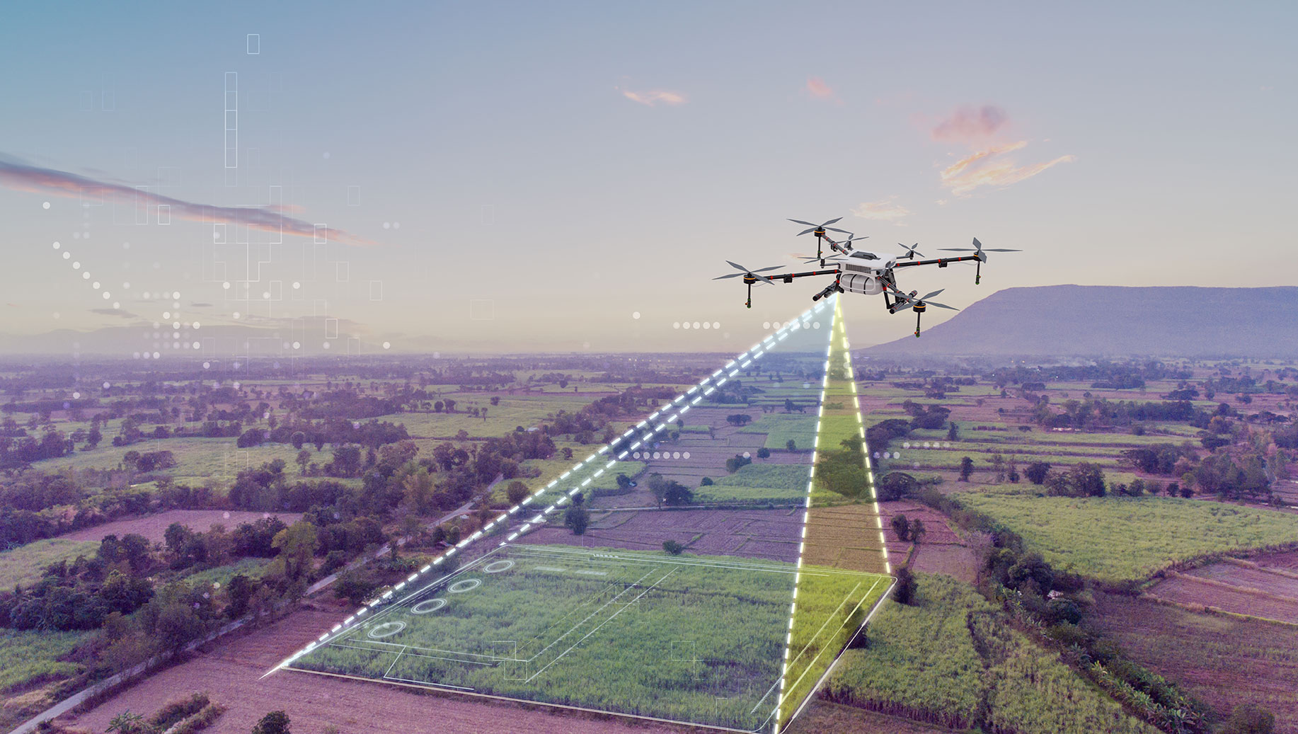
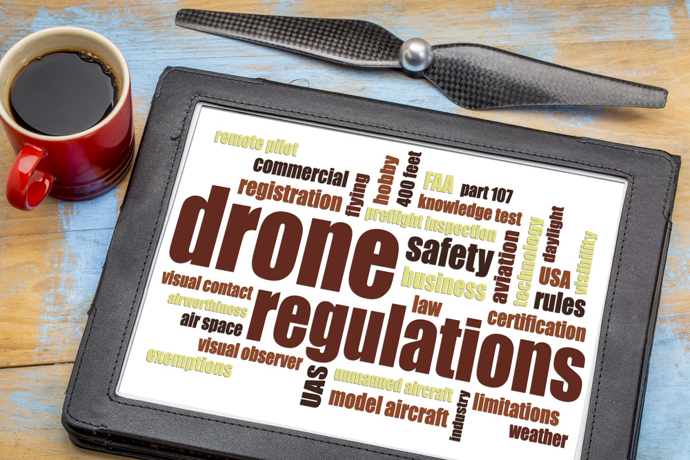
Drone News

Gig City Drones’ blog is your guide to drone services in Chattanooga and the surrounding areas. We cover everything from aerial photography and drone videography to mapping and commercial applications, giving readers a clear view of how drones can bring projects to life across the Scenic City.

Our blog highlights the latest drone technology, industry updates, and real-world uses of drones in Chattanooga. You’ll find articles on real estate drone photography, event drone coverage, and business-focused aerial videography that show how these tools can make an impact.

Whether you want to capture breathtaking aerial views of downtown Chattanooga, create detailed maps for a property in Ooltewah or Signal Mountain, or showcase your business with professional drone footage, our blog is packed with insights, tips, and inspiration. If you’re searching for trusted drone services in Chattanooga, this is the place to start.

Drones for Roof inspection

Drones for Roof Inspections

Gig City Drones: Making Roof Inspections Safer & Easier in Tennessee Roof inspections are a crucial part of maintaining any property. They help identify issues early, extend the life of your roof, and protect your investment. But traditional inspections often involve climbing ladders, walking steep or fragile surfaces, and putting inspectors at unnecessary risk. That’s

Drones for Roof Inspections Read More »

Drone in Action

Tips for Capturing Adventure with Drones

Capture Your Adventures with Stunning Drone Videography in Tennessee From hiking the trails of Lookout Mountain to biking along the Tennessee Riverwalk—or even skiing, surfing, or racing—drones offer an incredible way to capture your adventures from the sky. With breathtaking aerial perspectives and dynamic shots, you can relive the thrill of every moment in cinematic

Tips for Capturing Adventure with Drones Read More »

FPV Drone

The Rise of First-Person View Experience with Drones

The Rise of First-Person View (FPV) Drone Videography in Tennessee First-person view (FPV) drones are taking the world of videography by storm—and for good reason. They don’t just capture footage; they put you inside the flight. By streaming live video from the drone’s camera to a pilot’s goggles, FPV drones deliver a fully immersive flying

The Rise of First-Person View Experience with Drones Read More »

Lancaster II Drone Map Westfield Indiana

Best Practices for Capturing Stunning Drone Mapping

Drone Mapping Tips & Training: Fly Smarter with Gig City Drones At Gig City Drones, we don’t just provide professional drone mapping services—we also love helping new drone pilots learn how to master aerial mapping. Whether you’re exploring drone mapping for surveying, construction, agriculture, or real estate, these tips will set you up for success.

Best Practices for Capturing Stunning Drone Mapping Read More »

Indianapolis Roof Inspection

Revolutionizing Roof Inspections with Drones

Revolutionizing Roof Inspections with Drone Technology in Tennessee Roof inspections are one of the most important steps in property maintenance, real estate transactions, and construction projects. They ensure structural integrity, uncover hidden damage, and help property owners avoid costly repairs. But let’s be honest—traditional roof inspections aren’t exactly convenient. They require climbing ladders, walking on

Revolutionizing Roof Inspections with Drones Read More »

Residential Drone Photography

Selling a Property Using Drone Photography

Sell Your Properties Faster with Drone Photography & Videography In today’s real estate market, standing out is everything. Traditional photos alone no longer grab the attention of modern homebuyers. They want more than snapshots—they want an experience. That’s where drone photography and videography step in. With stunning aerial visuals, you can showcase properties in ways

Selling a Property Using Drone Photography Read More »

What is Drone Mapping

What is Drone Mapping?

What is Drone Mapping? Drone Mapping in Chattanooga, Tennessee Drone mapping uses advanced unmanned aerial vehicles (UAVs) equipped with high-resolution cameras and sensors to capture precise data and aerial imagery of specific locations. This information is processed into detailed 2D maps and 3D models that support a wide range of industries—from construction and land development

What is Drone Mapping? Read More »

Chattanooga Drone Company

What To Look For in a Drone Company

Drone Photography Chattanooga Drone photography has rapidly grown in popularity, and it’s easy to see why. The ability to capture breathtaking aerial perspectives provides businesses with powerful marketing tools and unforgettable visuals. Whether you need to showcase real estate properties, highlight an event along the Tennessee River, or generate detailed 2D and 3D maps for

What To Look For in a Drone Company Read More »

Scroll to Top