
2D vs 3D Mapping: Which One Do You Really Need?
Hey there, curious minds! When it comes to exploring, planning, or monitoring a project, the choice between 2D and 3D mapping can make all the difference. Today, we’re breaking it down in a casual, no-fuss way so you can figure out which method works best for your needs.
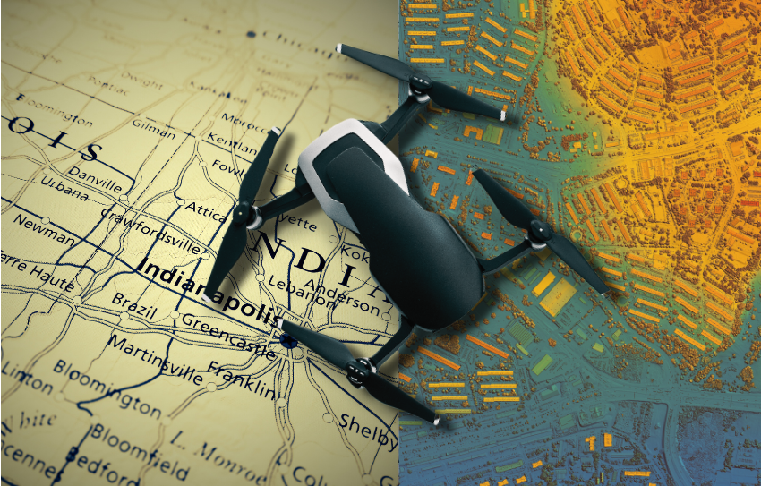
Understanding 2D Mapping
First up—the classic 2D map. This is your straightforward, flat view of the world. Think road maps or your go-to GPS app. It’s simple, clean, and perfect for everyday navigation.
When you’re cruising around Chattanooga or heading out on a Tennessee road trip, 2D mapping is your best buddy. It gives you the essential info—routes, turns, and landmarks—without overwhelming you with too much detail.
Exploring 3D Mapping
Now let’s add some depth—literally. Enter 3D mapping. Instead of just a flat layout, 3D maps bring in elevation, contours, and perspective.
Planning a hike up Lookout Mountain? You’ll want to know where the steep trails and cliffs are. That’s where 3D mapping shines. For outdoor enthusiasts, it’s like having a guide who knows every hill, slope, and scenic overlook.
For professionals like architects, engineers, and geologists, 3D mapping is a goldmine. It delivers detailed models and data that help with design, analysis, and site planning. It’s not just a map—it’s a powerful tool for big decisions.
When to Use 2D Mapping
2D maps are your go-to when life calls for simplicity and efficiency. They’re perfect for:
Everyday navigation around the city
Road trips and travel routes
Quick location overviews without extra detail
If all you need is the “turn here, go there” version of navigation, 2D mapping has your back.
When to Use 3D Mapping
3D maps come into play when you need precision and depth. They’re ideal for:
Hiking, outdoor adventures, and terrain analysis
Construction planning and monitoring
Architectural and geological projects
If you need to see every slope, structure, or elevation, 3D mapping is your secret weapon. It provides a full picture of the environment so you can make smarter, safer, and more informed decisions.
Why Choose Gig City Drones
Not sure which mapping solution fits your needs? That’s where Gig City Drones comes in. We specialize in both 2D aerial mapping and advanced 3D modeling, giving you accurate, professional results every time.
2D Orthomosaic Maps – Perfect for large-scale overviews
3D Models & Terrain Mapping – Ideal for detailed analysis
FAA-Certified Pilots & Advanced Tech – Ensuring safe, precise, and reliable data collection
Whether you’re a contractor needing site maps, an engineer analyzing terrain, or an adventurer planning your next outdoor trek, we’ve got the tools and expertise to make it happen.
Conclusion
At the end of the day, it’s not about which is “better”—it’s about which is right for your project. For quick, simple navigation, go with 2D. For in-depth planning, analysis, and precision, 3D mapping is the way to go.
And if you’re in Chattanooga or anywhere in Tennessee, let Gig City Drones help you get the most out of your maps—whether flat or full of depth. 📍
Ready to take your project to the next level? Contact Gig City Drones today for professional 2D and 3D mapping services.